4 Guided Winter Hikes in Saalbach-Hinterglemm
By Gillian Boyd Published 25 March 2026
Read about my experience of 4 Guided Winter Hikes in the Saalbach-Hinterglemm area of the Austrian Alps with an impressive 140km of winter hiking trails available.
I completed Guided Hikes to: Ellmaualm, Spielberghaus, Ossmanalm and Rammneralm.
The tourist board employs certified guides and offers Free Guided Hikes from Monday to Friday.
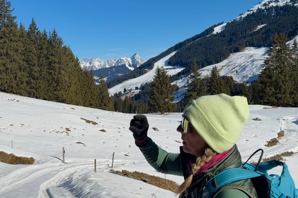
Now that’s an outdoor classroom – learning from Certified Winter Hiking Guide
Facilities
At 1003m elevation Saalbach-Hinterglemm is well serviced with numerous huts offering delicious hot food and drink, clean toilets at every ski lift and a rescue helicopter that can reach anywhere inside 15 minutes. These are all services that benefit skiers and non-skiers alike. Add to that plenty of good restaurants and bars and you’ve got the evenings covered too.
Where To Get Information
Information can be found on saalbach.com or on the free app for the area called Home of Lässig. The app is well worth downloading as it has a wealth of information on all activities for winter and summer in German and English including digital hiking and skiing maps and details of events.
Or you can collect a paper winter hiking map from the tourist office in Saalbach-Hinterglemm (closed on Saturday and Sunday).
The Guided Hikes meet at 10am, but the meeting points vary so check the website or the app. Most of the hikes finish between 2 and 3pm.
No Need To Register
There is no need to register in advance so you can decide to join at the last minute. The numbers vary on the day and ranged from 8-18 on the Guided Hikes that I attended with hikers from Germany, Austria, Netherlands, Belgium, Italy, Estonia, Ireland and the UK. A core group completed all 5 hikes offered that week.
The guides spoke in German and English and adjust the hike depending upon weather and the fitness of the group. They know all the points where you can leave early and get a gondola or bus back.
Getting Around
We did not need lift passes for any of the guided hikes.
If you wanted to hike independently, many of the hikes are accessible on foot, or you can purchase individual tickets for the cable car ride at around €21 per one ascent and descent but the price varies on length of the ride.
The Sun Ticket is specially for hikers and includes 2 ascents and descents per day (without ski equipment) for gondolas of the Skicircus area which is Saalbach, Hinterglemm, Leogang and Fieberbrunn. Check the website for current prices and offers.
The ski buses are included with the passes.
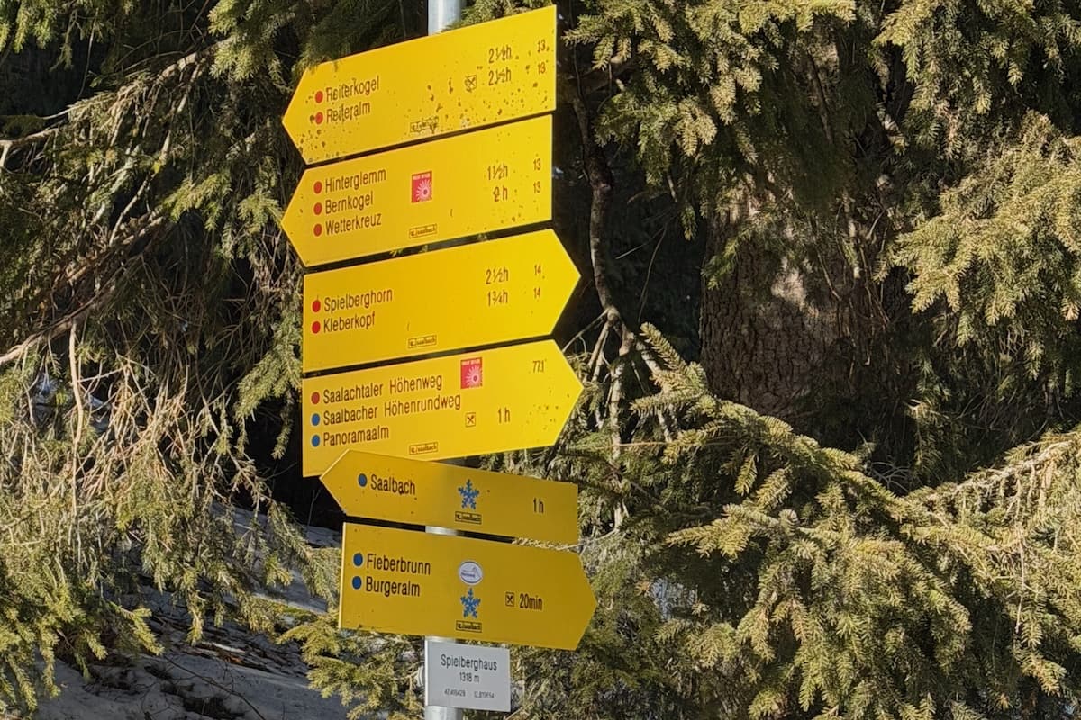
Yellow signs of hiking trails in Saalbach-Hinterglemm
Signposts
Routes are marked by yellow signposts with colour coded trails according to time, not distance.
- Winter hiking trails have a blue snowflake
- Easy summer trails are blue
- Moderate summer trails are red
- Difficult summer trails requiring technical skill are black
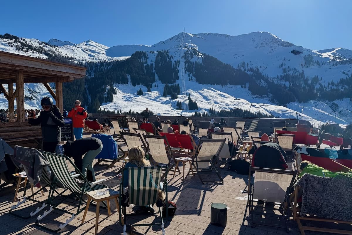
Admiring the view from the terrace of Ellmaualm
Guided Hike 1: Ellmaualm
Distance 9km
Ascent Time 2 hours
Rest Time 1 hour
Descent Time 1 hour plus cable car ride
Official Rating Moderate
Elevation Profile 580m
Meeting Point 10am at 12 Kogel Lift Valley Station
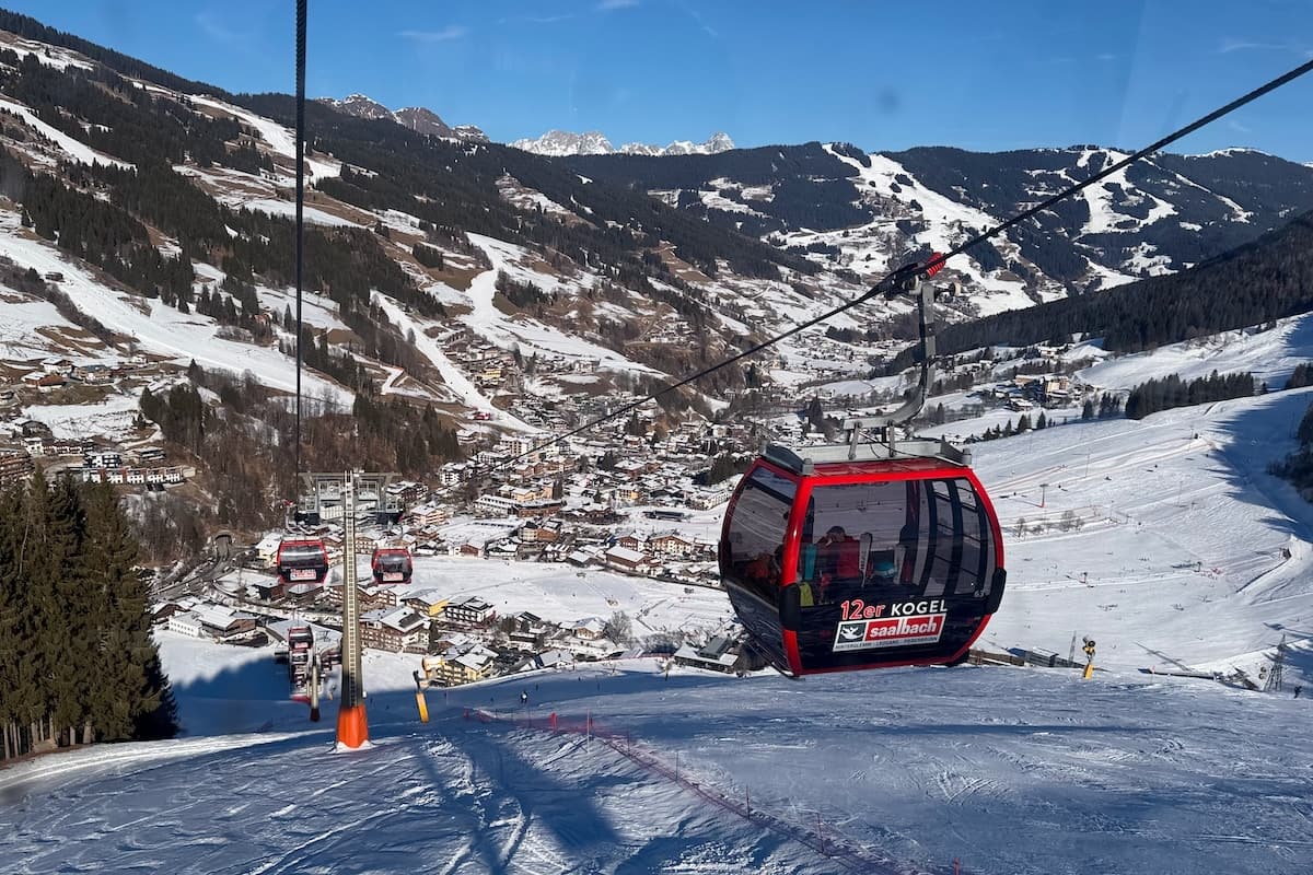
Summary Leaving the 12 Kogel lift, we walked across the car park and headed towards the right, passing under the shortest gondola in the world, the 12er Express at only 210m. Walking primarily on a road zig-zagging up hill. It was steep in places with a stream, trees and small waterfalls.
The hike opens up near the top for great panorama views over Hinterglemm in the valley. There were options to walk the whole way down or take a cable car down from the mid station or stay at a restaurant. One elderly gentleman was struggling with the steepness of the road, so the guide slowed the pace and to his credit, he completed the entire hike, though we didn’t see him the next day.
Note This was not the scheduled or advertised hike.
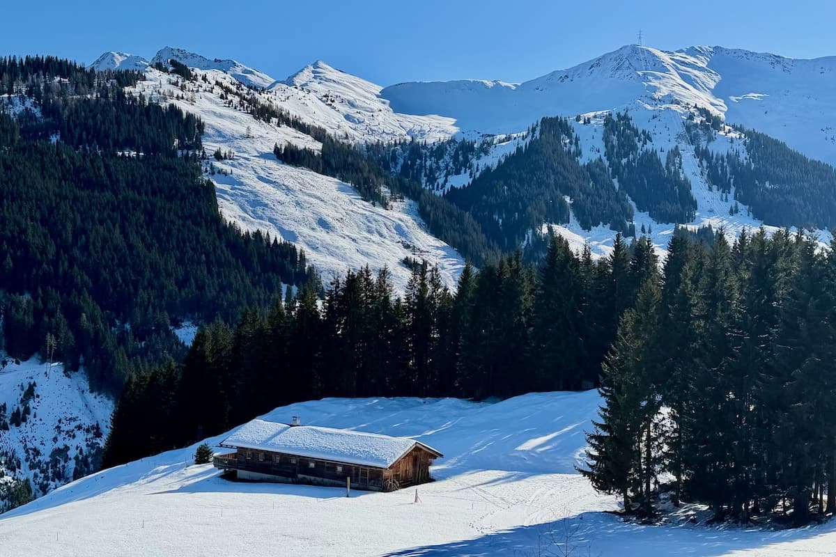
View on Ellmaualm hiking trail
Saalbach-Hinterglemm in the valley
Recommendation The panorama views on Ellmaualm hike were definitely worth the hike when the visibility is good. It was very enjoyable on a sunny day and it was fun crossing the busy piste to come down in the gondola. I really enjoyed meeting fellow hikers on a ski trip and I had lots to tell my skiing family over dinner that night, including that ‘alm’ means mountain pasture.
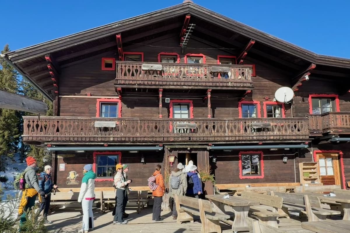
Winter hikers entering Spielberghaus for lunch
Guided Hike 2: Spielberghaus
Distance 9km
Ascent Time 2 hours
Rest Time 1 hour
Descent Time 1 hour plus cable car ride
Official Rating Moderate
Elevation Profile 580m
Meeting Point 10am at 12 Kogel Lift Valley Station
Summary The group walked up through the pretty town of Saalbach past hotels, shops and restaurants. At the edge of town we hiked constantly uphill on a tree lined closed road with the occasional skier and toboggan coming down. We passed a skimobile track near the top. There was the option to stop immediately at the hut or continue on a flattish 40 min loop over farmland in the Tyrol district with view of Fieberbrunn Mountain in distance and back to the hut for lunch. The descent was back down the same closed road.
Note Spielberghaus is also an hotel and is owned by the parents of Valentina Höll, the four-time UCI Champion Downhill Mountain Biker.
Recommendation I liked the wide open space at the top of the Spielberbhaus hike with the view of Fieberbrunn and hearing about the downhill mountain biker. Walking through the town was pleasant too but the middle part on the road was a bit dull so I was glad to have friends to chat with. I found the hike easier than the Ellamaualm hike the day before.
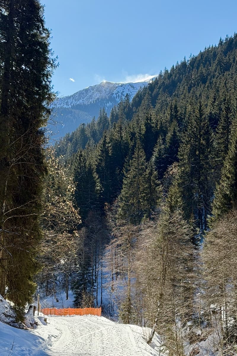
Snow blowing off the top of the mountain in Austrian Alps
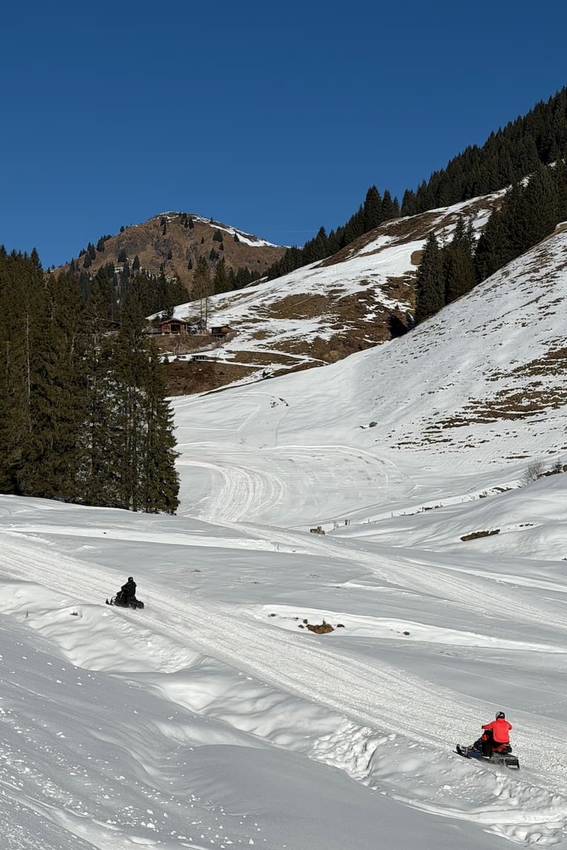
Snowmobiles racing
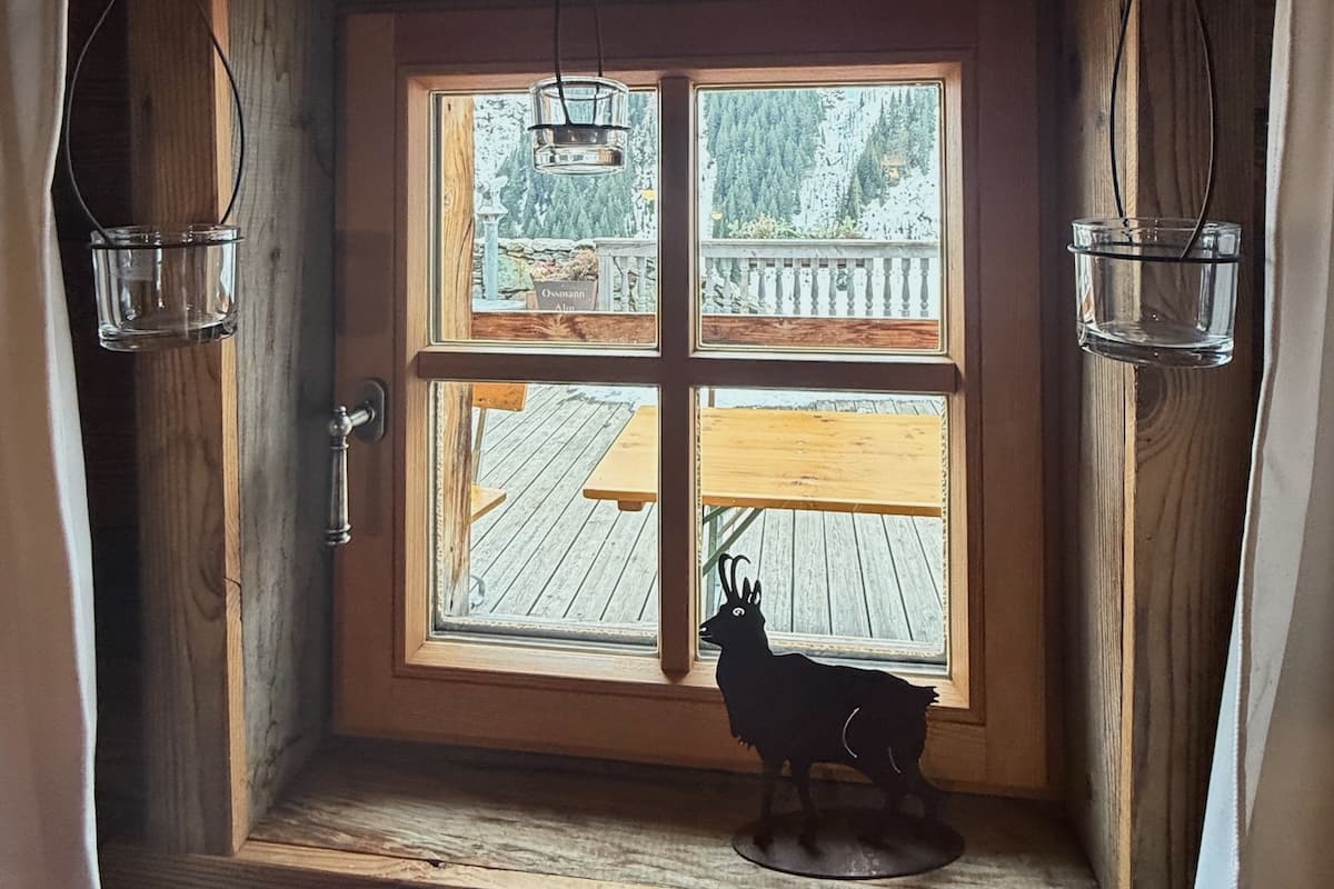
Warm and cosy inside Ossmanalm
Guided Hike 3: Ossmanalm
Distance 6.8km
Ascent Time 1 hour 15min
Rest Time 1 hour
Descent Time 1 hour
Official Rating Easy
Elevation profile 350m
Meeting Point 10am at 12er Kogel Valley Station
Summary We took a ski bus to Legau, the final bus stop, then followed the trail path through the woods. It was much quieter as cars were unable to travel and therefore the hike felt very peaceful. We passed the Golden Gate suspension bridge and the Glemmtaler Tree Top Trail, the highest in Europe, though it is closed in winter. I was a bit scared walking on a steep icy section.
Near the top we saw 3 large frozen waterfalls on our left and 2 telescopes positioned so we could watch the ice climbers ascend the waterfall. We watched as one ice climber swung his ice pick in and gradually climbed about 15 feet before descending. On Wednesdays there is an Ice Climbing Taster Day. After lunch at the hut, we descended in a gentle snowy loop to avoid the icy section. The remainder of the descent was on the original route and we passed an adorable horse drawn carriage with bells. You can get a horse drawn carriage and stay for dinner at the Ossmanalm as one of the group of hikers did. Apparently, it is very dark so the stars are brilliant on a clear night. See website for details and book ahead.
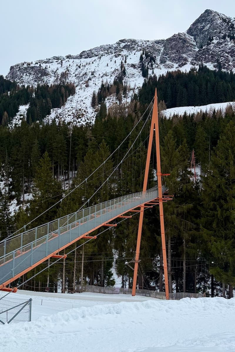
Golden Gate Bridge and Treetop Trail
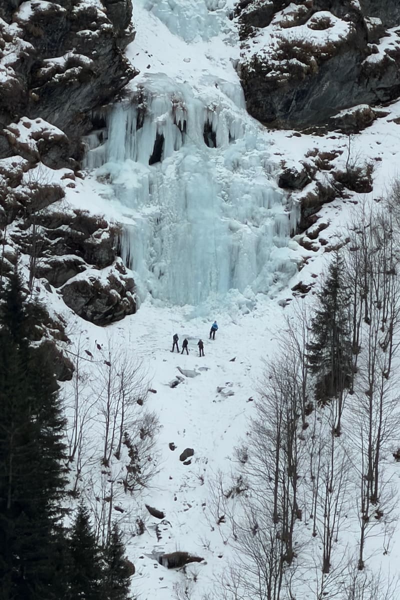
Highlight of the day – ice climbers on the frozen waterfall
Note The hut was cash only and as I just had card, I had to borrow some money.
Recommendation The Ossmanalm hike was quieter, shorter and easier than the others. The icy section was due to the weather conditions and therefore temporary. It was exciting to see the ice climbers, the horse drawn carriage and the high ropes. I really liked this walk though after 3 days of hikes I needed the next day off.
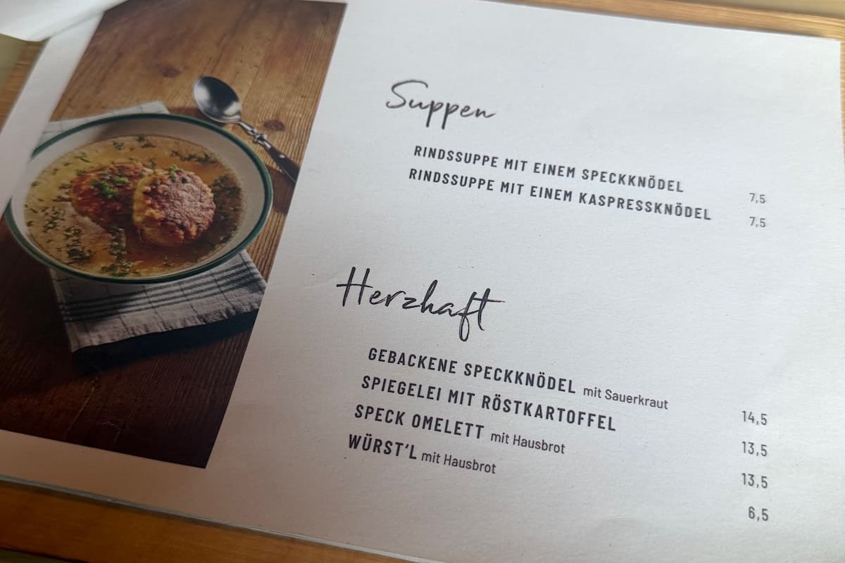
Tasty local food
Guided Hike 4: Rammernalm
Note This guided hike was the longest and hardest of the week as it combined S04 Ronach, S01 Sonnseit Promenade, J02 Rammern Alm. There was the option to return by G1 Glemmtal Promenade or take the ski bus back.
Summary From the Schattberg Xpress lift we walked up through Saalbach town, past the church and through some streets to the mountain slope on route S04 Ronach. This morphed into route S01 Sonneit Promenade and lived up to its name, sunny walk.
Some parts were icy so the guide lent us some hiking crampons which slip on over your boots and have metal spikes. They were a game changer. I felt so secure in the crampons that I’ll be buying myself a pair.
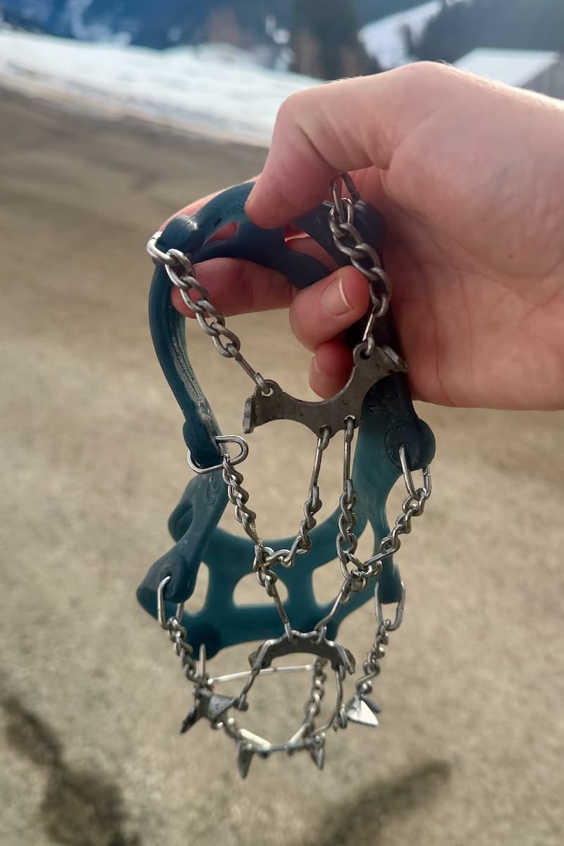
I felt so safe with crampons over my boots on the ice
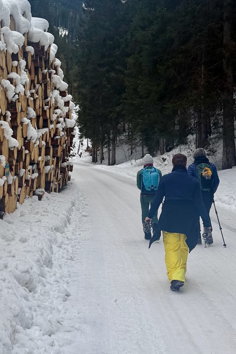
Hiking past huge stack of logs
We crossed a piste on the gentle sunny slope and hiked under the Schönleitenbahn gondola before descending on a road into Jausen village. This section felt light and open. You could stop here and return by bus after 2 hours hiking.
Or Continue
But we crossed the main road and climbed up through a tree lined forest road, with huge neat piles of cut tree trunks on route J02 for about 6km. Going steadily upwards I was grateful to reach the hut at 1:10pm. The guide had phoned on ahead to make sure the hut was open. This side of the mountain was more agricultural and much quieter. It was darker due to the trees.
After a homemade lunch, we descended on a farmer’s path, across woods and fields, through a cow stile and then rejoined the forest road back to the main road.
2 hardy souls walked back along the flat Glemmtal Promenade which takes about 45 mins to reach Saalbach. But I was shattered and so glad to get the bus back from Jausern.
Recommendation Rammernalm hike was the toughest walk all week and my least favourite because it was longer and I was already tired. It was my last day and I had already seen many of the sights. As I have shown, you could break it down into smaller sections if you wished.
Final Thoughts
Saalbach-Hinterglemm is known for its skiing in winter, well serviced with many snow cannons, and mountain biking in the summer.
I’d like to add Winter Hiking to the list. Thanks to the Guided Hikes, I was confident and able to explore a variety of trails, further than I would have ventured on my own, each with their own character.
It was also great to meet with fellow non-skiers and have some companionship during the day. I highly recommend the Guided Winter Hikes.
Never miss an Adventure!